
1
/
of
1
The Book Elephant
Midlands A-Z Road Atlas by A-Z Maps
Midlands A-Z Road Atlas by A-Z Maps
Regular price
£7.99 GBP
Regular price
Sale price
£7.99 GBP
Unit price
/
per
Tax included.
Couldn't load pickup availability
Paperback / softback
Geographical reference
9780008652838
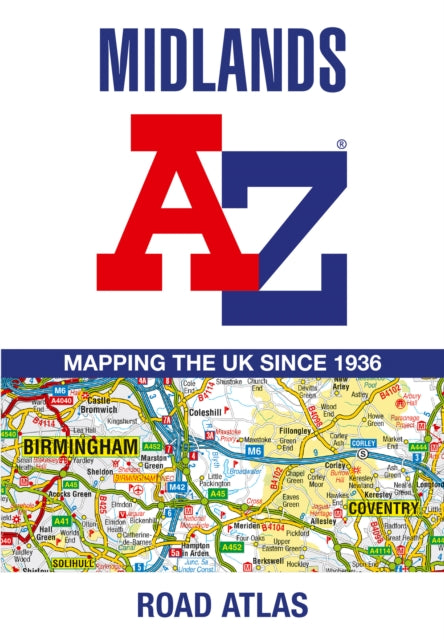
A full-colour, regional road atlas of the Midlands from A-Z Maps, featuring 46 pages of continuous road mapping. Road map detail is shown at a clear 2.5 miles to 1 inch scale (1.58 km to 1 cm) and includes the following features: Motorways open with full junction detail, motorways under construction and proposed, service areas, primary routes and destinations, A & B roads, selected minor roads, gradients 1:5 and steeper, tolls, mileages, county boundaries, spot heights and hill shadingSelected safety camera locations with their maximum speed limitsSelected fuel stationsNational Park boundariesSelected places of interest, tourist information centres and golf courses The index section lists cities, towns, villages, hamlets and locations covered by the road mapping.
Geographical reference
9780008652838
A full-colour, regional road atlas of the Midlands from A-Z Maps, featuring 46 pages of continuous road mapping. Road map detail is shown at a clear 2.5 miles to 1 inch scale (1.58 km to 1 cm) and includes the following features: Motorways open with full junction detail, motorways under construction and proposed, service areas, primary routes and destinations, A & B roads, selected minor roads, gradients 1:5 and steeper, tolls, mileages, county boundaries, spot heights and hill shadingSelected safety camera locations with their maximum speed limitsSelected fuel stationsNational Park boundariesSelected places of interest, tourist information centres and golf courses The index section lists cities, towns, villages, hamlets and locations covered by the road mapping.
Share